How to Send Geotagged Photos on WhatsApp with Location, Date & Time Stamps

WhatsApp is widely used for team updates, field reporting, and sharing images with colleagues and clients. However, when you take a photo using your standard phone camera and send it through a regular WhatsApp chat, WhatsApp automatically compresses the image file. During this compression process, internal EXIF metadata—including embedded GPS coordinates—is generally removed by WhatsApp to protect user privacy and reduce file size. As a result, recipients viewing the shared image in their chat cannot inspect internal EXIF location tags.
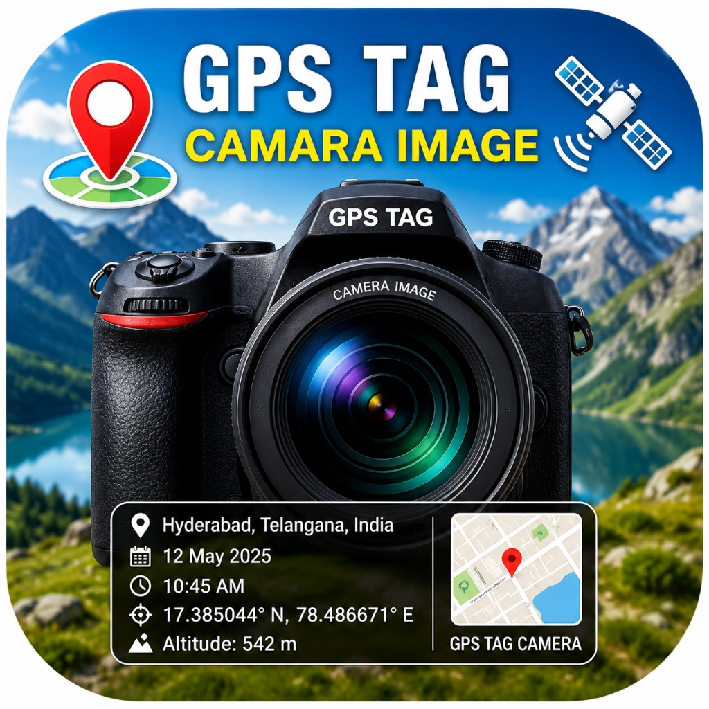
For field workers, civil engineers, delivery agents, land surveyors, and real estate inspectors who need clear location context on their images, an effective approach is to use GPS Map Camera Stamp by SR Computers. The visible location, date, and time information can be added directly to the image as a stamp. Depending on the device and app settings, additional location information may also be stored in the image metadata.
In this guide, we explain step-by-step how to capture location-stamped photos and share GPS photos on WhatsApp accurately and reliably.
Get GPS Map Camera Stamp on Your Phone
download Download GPS Map Camera Stamp AppUnderstanding What a Geotagged Photo Is
A geotagged photo is a photograph associated with location information recorded when the photo was taken. There are two distinct ways location details can be attached to an image:
- Visible Watermark Stamp: Text, coordinates, addresses, dates, and times rendered directly onto the pixels of the photo image file itself.
- EXIF Metadata: Internal header data stored within the file structure. Third-party applications or platforms may strip or retain this data depending on how the file is processed or shared.
Why Standard WhatsApp Sharing Handles Images Differently
WhatsApp offers a built-in "Share Location" feature, but sharing a live location pin differs from sharing a location-stamped photo:
- Separated Messages: Sending a location pin creates a separate map bubble in the chat thread, disconnected from your photo uploads.
- Image Compression: Regular photos sent as standard image messages are compressed by WhatsApp, which removes internal EXIF location data.
- Visible Context: A standard camera photo does not display readable text overlay for address, date, or time on the picture itself.
Adding a visible location and date stamp to the image before sending ensures that key details remain clearly readable regardless of how the image is displayed on the recipient's screen.
Step-by-Step: How to Capture & Share GPS Photos on WhatsApp
Step 1: Capture Your Photo using GPS Map Camera Stamp
Open GPS Map Camera Stamp on your Android device. Ensure location permissions and GPS services are enabled. The camera viewfinder displays location information captured by the device, including latitude, longitude, address text (when available via geocoding services), date, and time overlay.
Step 2: Customize Your Stamp Template (Optional)
Select your preferred stamp layout before capturing. You can adjust text alignment, font style, background opacity, and toggle optional details like map thumbnails or coordinates based on your preferences.
Step 3: Save the Stamped Photo to Device Storage
Press the shutter button. GPS Map Camera Stamp processes the captured image locally and saves the location-stamped photo directly to your phone's local storage gallery.
Step 4: Share the Photo via WhatsApp
Tap the Share option within the app preview or select the saved stamped photo from your Android gallery. Choose WhatsApp from the share menu, select your target contact or group, and send the image.
Sending as a Document vs. Standard Image in WhatsApp
WhatsApp processes files differently depending on how you attach them:
- Standard Gallery Share: Fast to view in chat, but WhatsApp compresses the image file and strips EXIF tags. The visible stamped text remains intact on the photo.
- Send as Document: Tap the paperclip attachment icon in WhatsApp and choose Document. This sends the image file uncompressed, preserving its original resolution and internal file structure.
Download GPS Map Camera Stamp for Android
download Download GPS Map Camera Stamp AppCommon Use Cases for Location Stamped Photos
Field teams and professionals use date and time stamped photos for clear documentation:
- Construction Site Progress: Sharing site activity updates with project managers showing location and time details.
- Property Inspections: Sending site visit photos to real estate clients or appraisal managers.
- Delivery Verification: Providing visual arrival updates to dispatch teams.
- Travel & Field Records: Documenting outdoor trips and field visits with location details.
Understanding GPS Accuracy & Factors That Affect It
GPS accuracy can vary depending on your phone, satellite visibility, physical obstructions like tall buildings or dense foliage, weather and environmental conditions, network availability, and other factors. When capturing photos in areas with weak GPS coverage (such as basements or underground structures), allow a few extra seconds for your device to obtain a stable location signal before snapping the photo.
Privacy Considerations
The app is developed with user privacy and responsible data handling in mind. Photos and videos captured using GPS Map Camera Stamp are stored locally on your device. The app does not upload your private photographs to external servers. When you share a photo through WhatsApp or another third-party platform, that service handles the file according to its own privacy policy and terms of service.
Troubleshooting Missing Location Information
If location details do not appear on your photo stamp, check the following troubleshooting steps:
- Check Location Permission: Ensure location permission is granted in Android settings under Settings → Apps → GPS Map Camera Stamp → Permissions.
- Enable Device GPS: Verify that Location / GPS is turned ON in your phone's quick settings panel.
- Clear Sky View: Move away from heavy concrete structures or indoor basements to allow your device to connect to GPS satellites.
Conclusion
Sharing location stamped photos on WhatsApp is a straightforward way to provide clear location and time context for work updates and personal records. Using GPS Map Camera Stamp by SR Computers allows you to capture, stamp, and share date and time stamped photos conveniently on your Android device.
Get Official GPS Map Camera Stamp on Google Play
download Download GPS Map Camera Stamp AppStart Sending Geotagged Photos on WhatsApp
Download GPS Map Camera Stamp for Android on the Google Play Store.
android Download Official App on Google Play